Recovery, standardization, and enhancement of argentine statistical cartography, 1970–2022
Main Article Content
Abstract
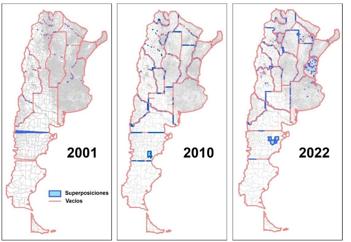
Contrary to common belief, statistical cartography is far more than just a logistical tool for organizing and distributing census fieldwork. Census polygon mosaics—such as fractions and tracts—are essential for mapping and spatial analysis of census data. The demand for digital formats of this data has grown in the last decades with the rise and spread of geographic information systems (GIS). While access to current GIS-compatible cartography and microdata is important, so is historical data for longitudinal studies. However, national statistical agencies have shown little interest in digitizing and providing access to users as well as ensuring quality and consistency of cartography itself.
This article summarizes work carried out through the Poblaciones platform, aiming to reconcile and disseminate Argentine statistical cartography from 1970 to the present, for spatially georeferencing census data.
Article Details

This work is licensed under a Creative Commons Attribution-NonCommercial-ShareAlike 4.0 International License.
Los contenidos de la revista están protegidos bajo la licencia Creative Commons Atribución-NoComercial-Compartir Obras Derivadas Igual 4.0 Internacional (CC-BY-NC-SA 4.0). Esta licencia permite compartir, copiar, distribuir y transformar las obras, bajo las siguientes condiciones:
- Citar la autoría y fuente original.
- Mantener los mismos términos de la licencia en las obras derivadas.
Los editores están autorizados a depositar y difundir los trabajos en bases de datos y redes sociales, con el objetivo de aumentar su visibilidad.
Términos de la licencia: http://creativecommons.org/licenses/by-nc-sa/4.0/deed.es

