From analog to digital: didactic innovation and inclusion in the teaching of Geomatics
Keywords:
geomatics, 3D modeling, DEM, GIT, educational inclusionAbstract
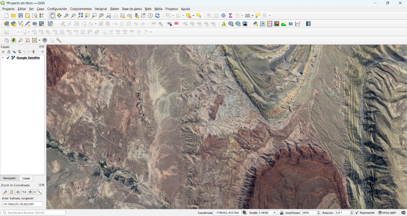
This article analyzes and justifies the methodological shift in the teaching of photointerpretation, moving from the traditional analog paradigm toward a digital approach based on Geomatics and 3D modeling. It proposes a paradigm shift in teaching, oriented towards the adoption of inclusive and up-to-date technological tools that foster meaningful learning in disciplines such as Engineering and Geography. The methodology focuses on the integration of raster data (base maps and Digital Elevation Models) through the use of the open-source software QGIS, generating accessible, high-quality three-dimensional representations.
The results demonstrate substantial improvements in processing efficiency, spatial understanding, and educational inclusion, by eliminating dependence on stereoscopic optical devices. It is concluded that the implementation of digital technologies not only optimizes the teaching of photointerpretation but also democratizes access to territorial knowledge and promotes a more equitable and innovative education of geographical space.
Downloads
Downloads
Published
Issue
Section
License

This work is licensed under a Creative Commons Attribution-NonCommercial-ShareAlike 4.0 International License.