
Cellular Automata in the study of urban sprawl and environmental issues in Puerto Tirol, Chaco, Argentina (2000–2020)
Keywords:
cellular automata, urbanization, land use, water vulnerability, territorial planningAbstract
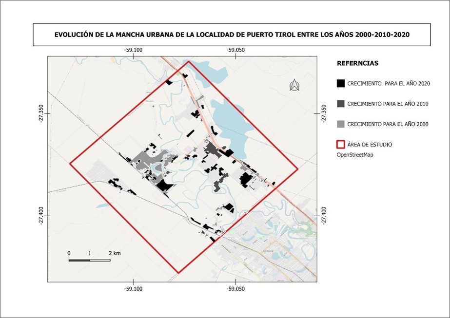
This study explores urban expansion in Puerto Tirol, Argentina, from 2000 to 2020, using cellular automata as a key tool to analyze and visualize urban sprawl. Located near Gran Resistencia, the town has expanded significantly into agricultural and recreational areas, leading to issues like lack of basic services and high-water vulnerability. The methodology combines satellite imagery and cartography, using cellular automata to model land use changes. This approach enables mapping of densification and environmental risk zones, revealing occupation patterns. By integrating spatial and temporal data, the study offers accurate insights into urban growth dynamics and supports decision-making in territorial planning. The findings are expected to guide interventions to mitigate unplanned growth and promote sustainable development in Puerto Tirol.
Downloads
Downloads
Published
Issue
Section
License

This work is licensed under a Creative Commons Attribution-NonCommercial-ShareAlike 4.0 International License.